
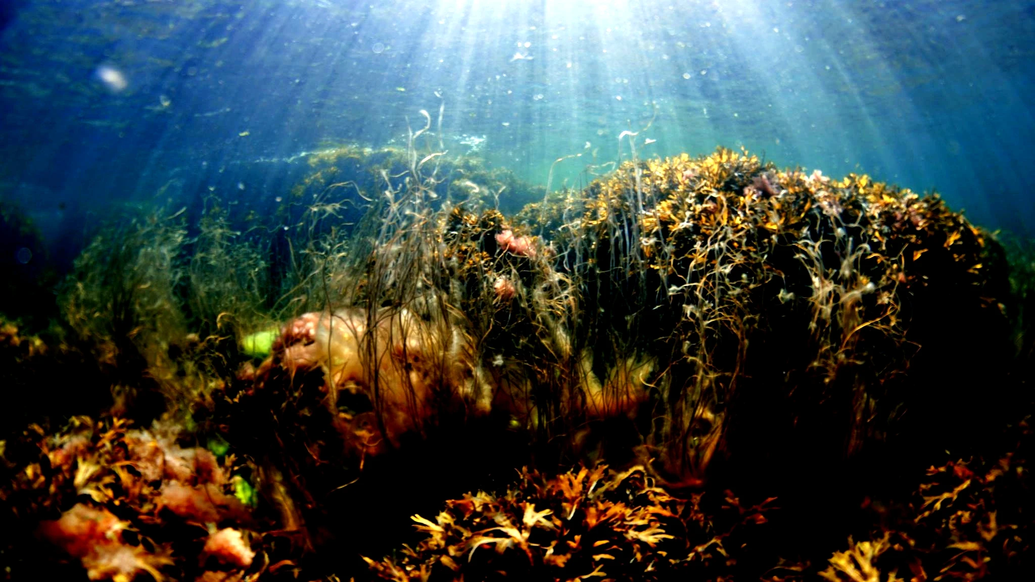
Your Daily Life Depends on Ocean Data
We are all using ocean data for free. Now we need to fund it.
Most people use services built on ocean observation several times a day without realising it.
When they check the weather app on their phone. When they notice prices in the coffee shop. When a storm warning is issued. When a ship changes route. When someone goes overboard and rescue teams need to know where the currents are moving.
The ocean is already in the systems people use every day, but it won’t be if we keep neglecting it.
Here are some examples to highlight how dependent we are on ocean data without realising it.
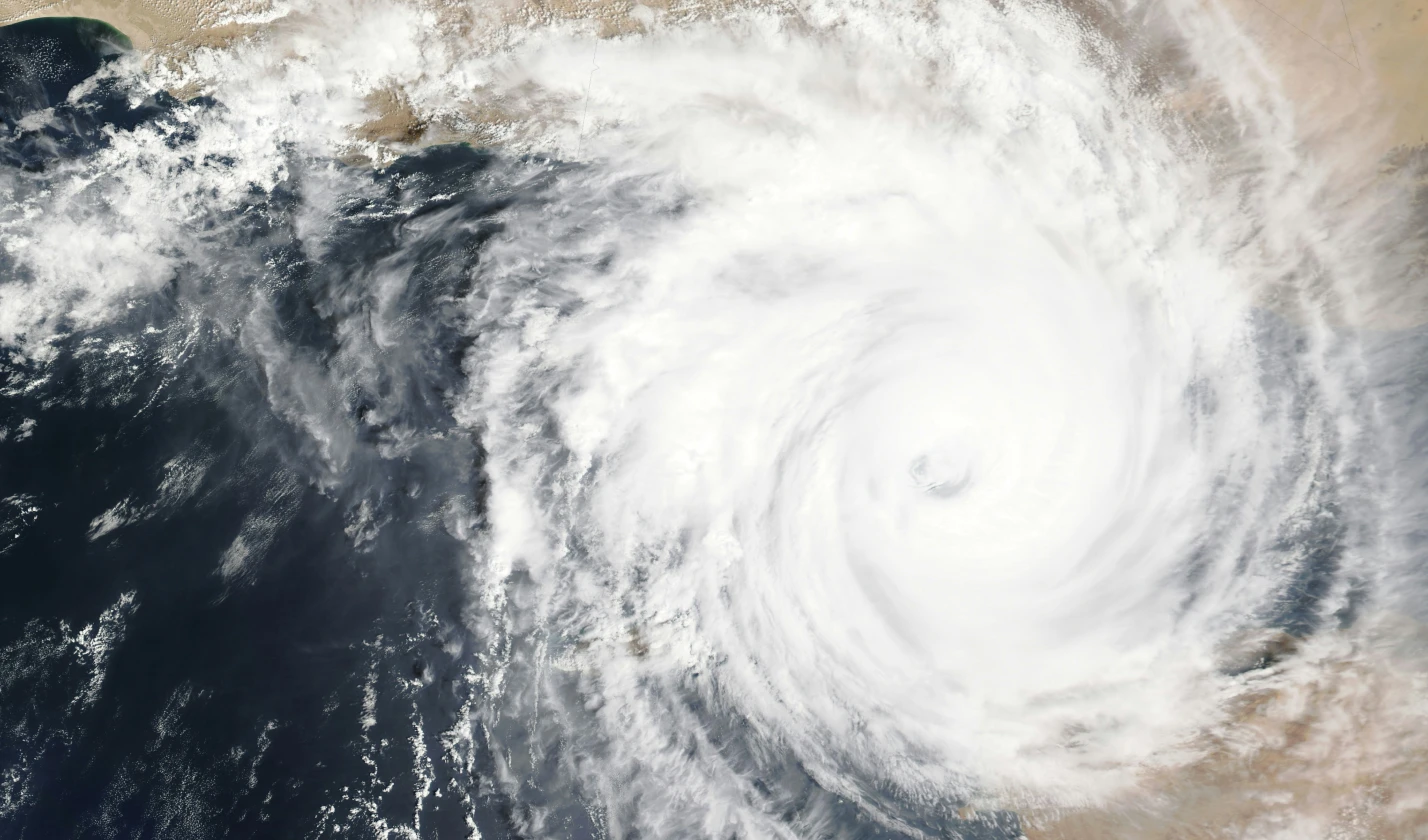
Weather:
The weather app on your phone is built on data from national weather services running numerical prediction models. Those models depend on the ocean as a core input: temperature, salinity, currents and surface conditions.
Without that ocean input, forecast skill falls sharply, from around seven days to two or three. The next time your phone tells you to bring an umbrella, part of that signal may have come from an Argo float, a wave buoy or a research ship.
Argo is a fleet of around 4,000 robotic floats that profile the upper two kilometres of the ocean every ten days. The data is free to anyone who wants to use it.
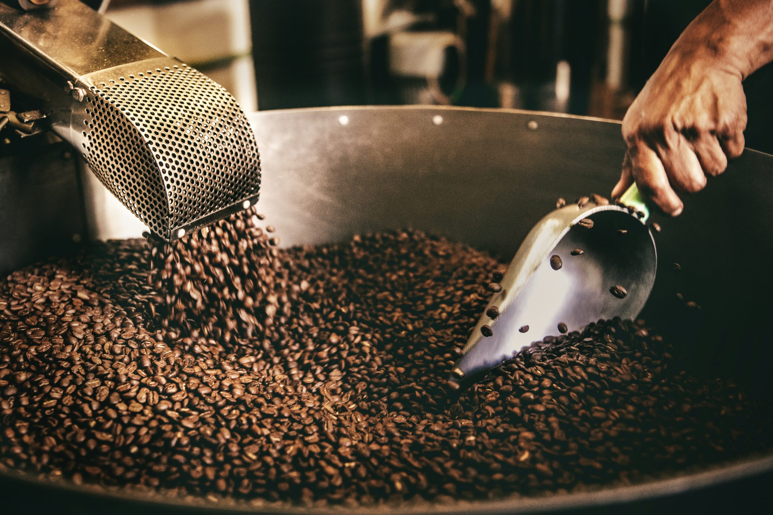
Bananas, coffee, cocoa:
The price board in a coffee shop may seem far removed from the ocean. It is not.
The El Niño Southern Oscillation is a pattern of ocean temperatures in the equatorial Pacific. It can drive drought in Australia and South East Asia, heavy rain in parts of South America and major ripple effects on commodity prices.
It is detected and tracked by ocean buoys, satellite altimetry and Argo floats. A trader watching cocoa prices and a household noticing higher grocery bills may be reading the same underlying ocean signal.

Bread and the AMOC:
The Atlantic Meridional Overturning Circulation moves heat from the tropics to the North Atlantic and helps shape the climate of northern Europe.
If it weakens, the consequences could include cooler, wetter European summers and unstable rainfall across West Africa and South America. That can affect wheat yields and, over time, bread prices thousands of kilometres from the ocean.
Salmon, oysters and harmful algal blooms:
A harmful algal bloom can shut down a salmon farm or shellfish industry for weeks. Early warning systems, built on satellite chlorophyll, in-water nutrient sensors and glider transects, can give producers a few crucial days to move stock or suspend harvest.
Without that warning, the cost lands quickly on producers, workers and consumers.
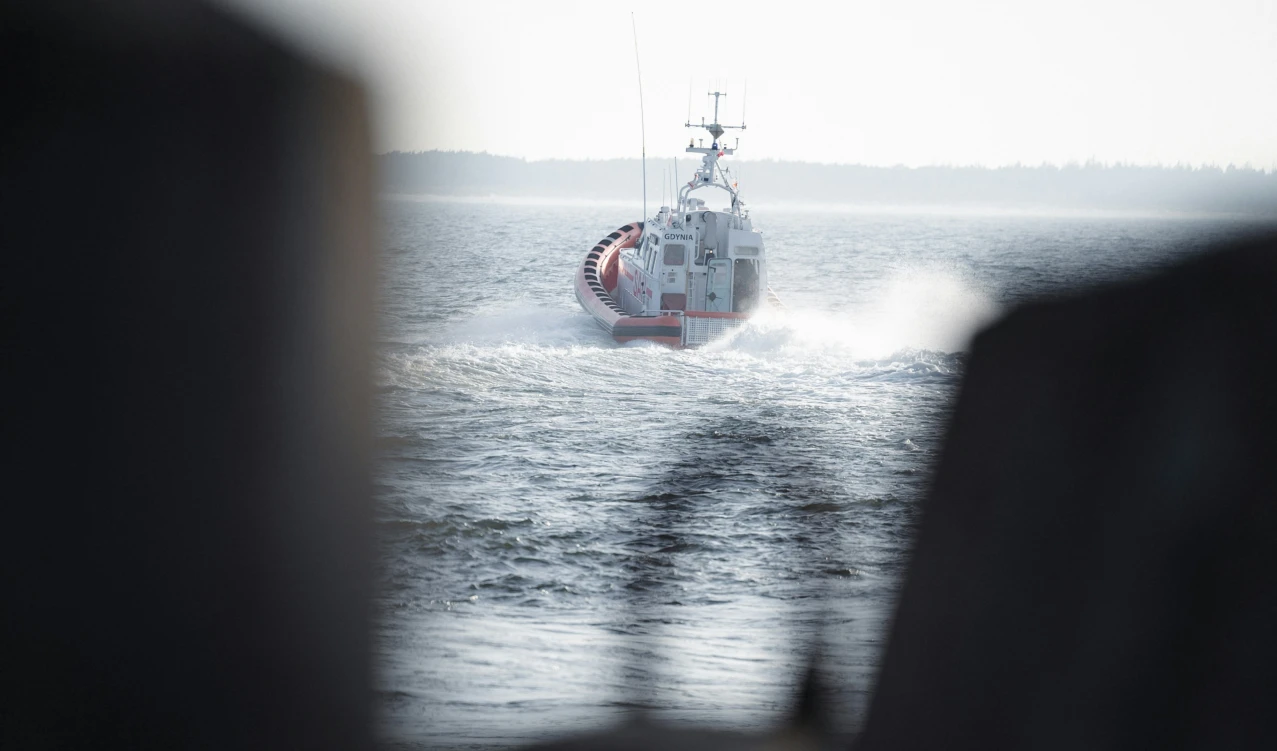
Search and rescue:
When a person goes overboard or oil is spilled, the search area is set by current and wind. Ocean current data can be the difference between finding someone alive and not finding them.
The same data supports maritime route optimisation and offshore operations.
Search and rescue:
Sea-level rise is measured globally by satellite altimetry and validated against tide gauges. This data drives long-term decisions about wastewater plants, port extensions, coastal roads and sea walls.
A coastal engineer in 2026 is reading ocean observation, even if the spreadsheet does not say so.
None of this requires the public to become specialists. But it does require governments, investors and businesses to recognise the system they are already using and relying on, and to fund it accordingly.
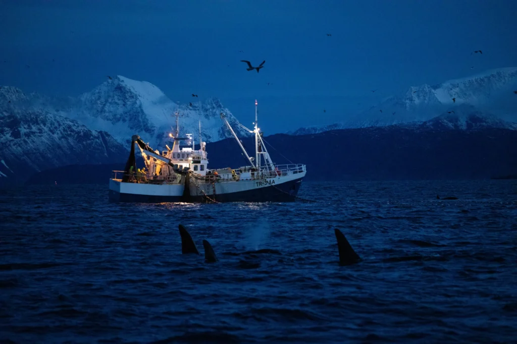
The Invisibility Paradox
The better the ocean observation system works, the more invisible it becomes. Discover why this invisibility paradox is a global threat.
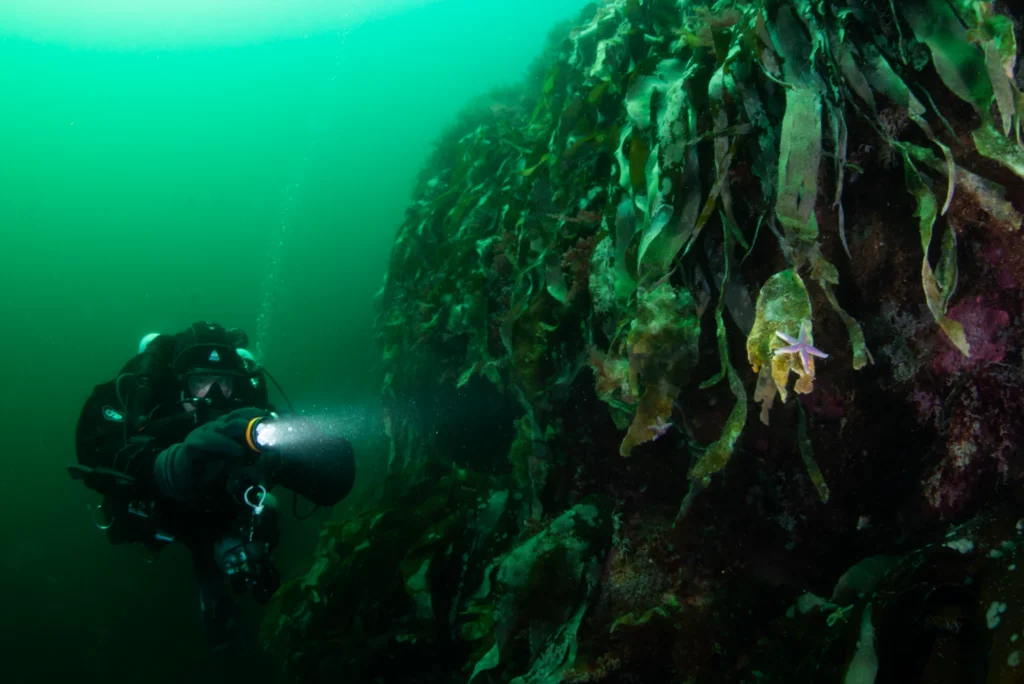
The Ocean Needs Funding
Ocean observation is often framed as a technology challenge, but the real constraint is funding. Without long-term investment, instruments go silent.
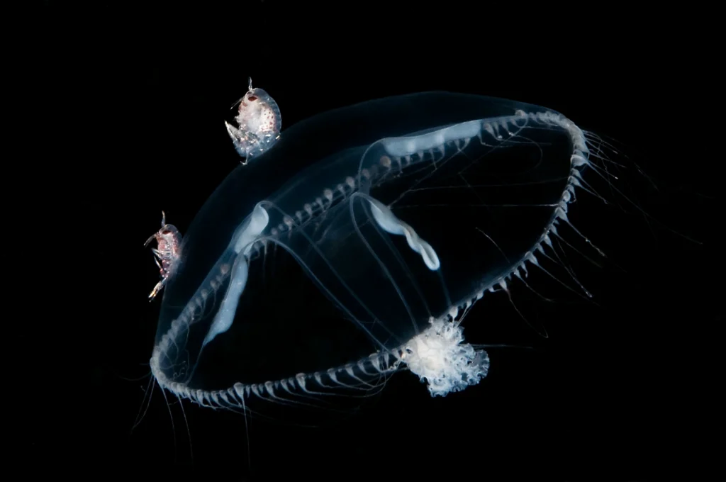
The Ocean is Going Blind
Weather forecasts, storm warnings, food security and climate models all depend on ocean data. But the system that provides it is at risk of…